Mapping Intelligence. Unlocking Resources. Building the Future.
789 Inner Lane, Holy park, California, USA


.png)
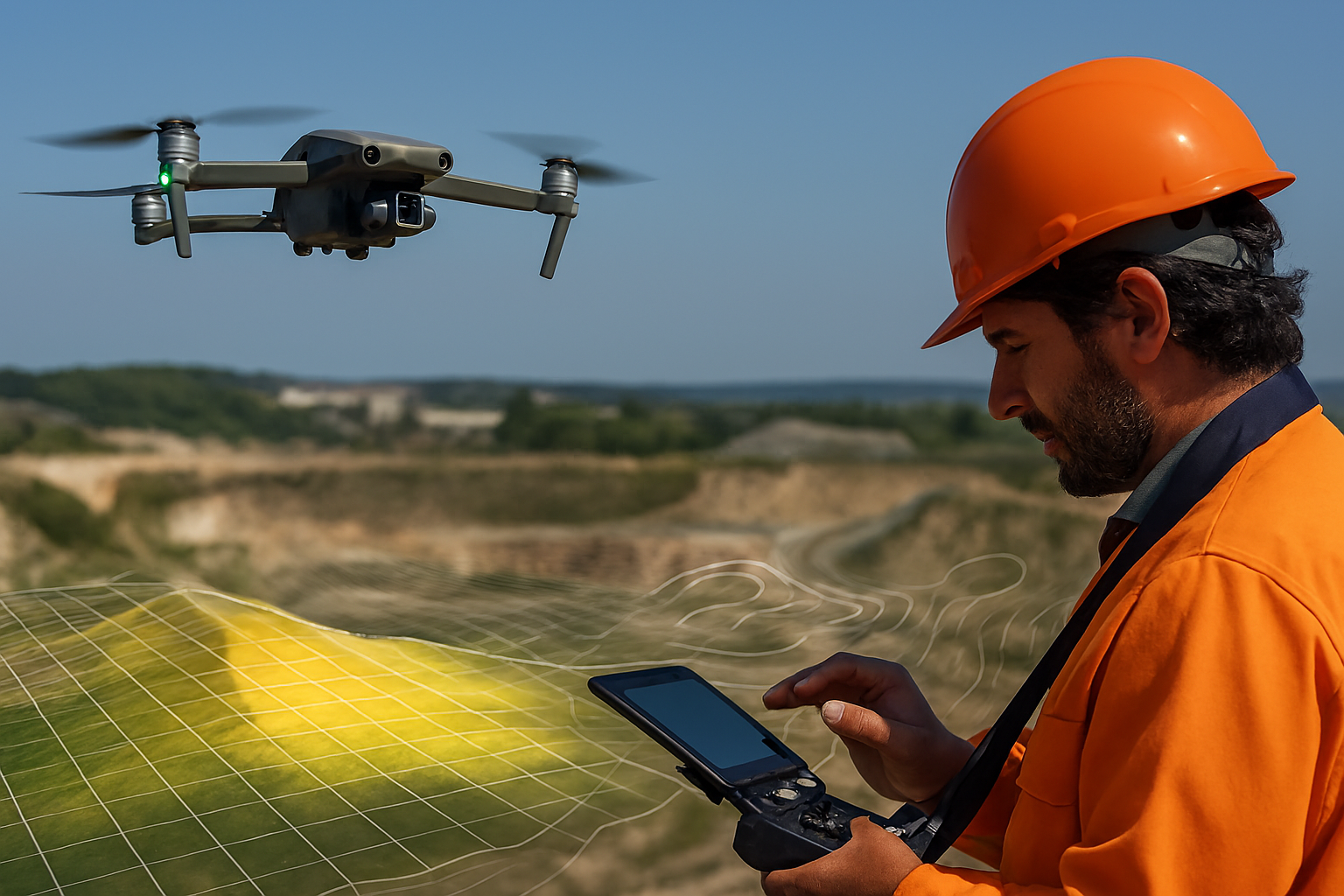
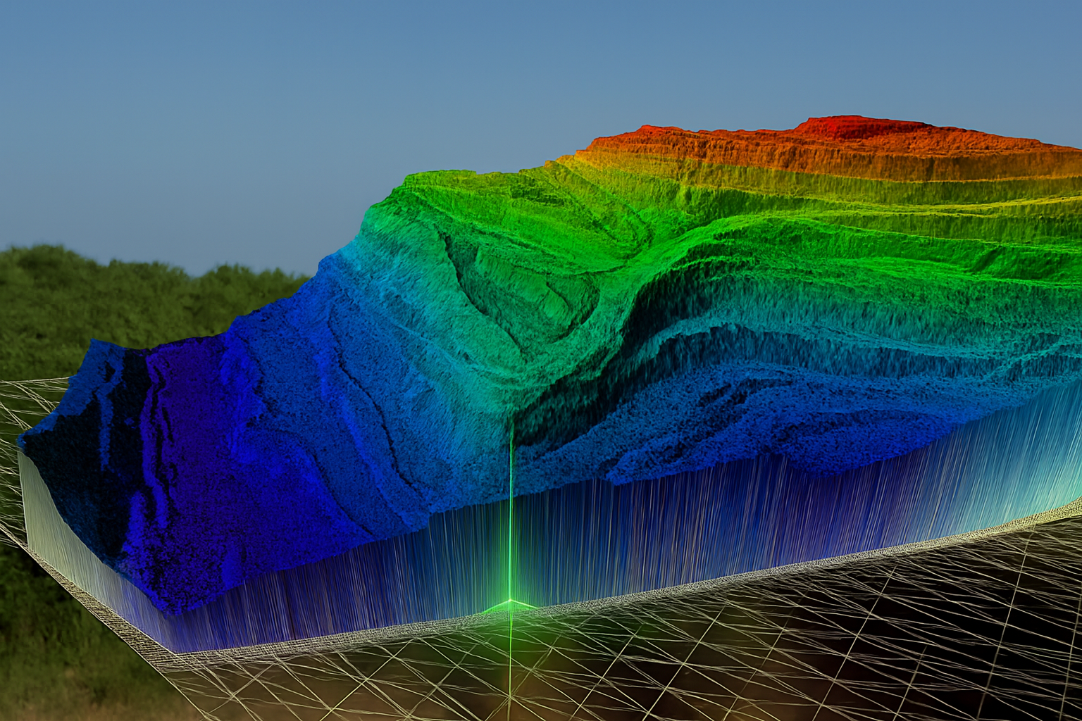
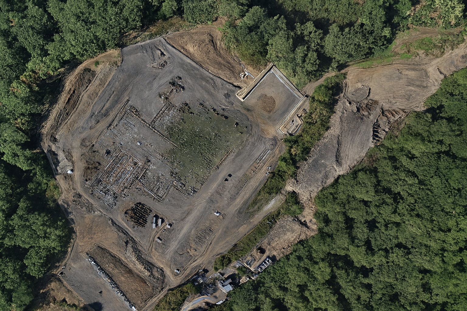
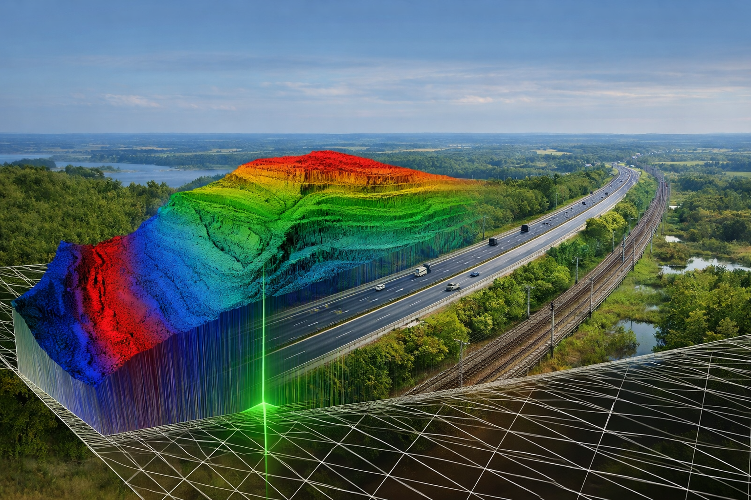
MAPVIBE Technologies Private Limited Innovating the Earth — Mapping Intelligence Beyond Boundaries Home : At MAPVIBE Technologies, we transform raw Earth data into intelligent insights. We bring together Geographic Information Systems (GIS), Geophysics, Artificial Intelligence, and Geology to build a smarter understanding of the planet beneath and around us. From mineral exploration to environmental monitoring, from topographic modeling to AI-driven decision systems — we help industries, researchers, and governments make better, faster, and data-driven choices. MAPVIBE is where science meets smart technology — shaping the future of Earth intelligence. Empowering industries with data. Empowering the planet with vision.

Innovating the Earth Mapping Intelligence Beyond Boundaries At MAPVIBE Technologies, we unite geoscience, engineering, and advanced digital tools into one multidisciplinary platform. From subsurfa
To become the world’s most trusted innovator in Earth Intelligence and Engineering, creating sustainable solutions that redefine how humanity explores, maps, and builds.
• Deliver accurate, high-resolution GIS & mapping intelligence. • Provide advanced geophysical and geological exploration services. • Lead innovation in metallurgy and material science. • Offer wor


.